
Sa`dah topographic map
Interactive map
Click on the map to display elevation.
Sa`dah
Sa'dah (Arabic: صعدة Ṣaʿda) is the capital city of Saada Governorate in north-western Yemen at an elevation of about 1,800 meters. Its population in 2004 was estimated at 51,870. It was formerly identified with Karna, the kingdom of the ancient kingdom of Ma'in, which is now known to be identical to the ancient Qarnawu near the modern Ma'in in the Al Jawf Governorate.
About this map
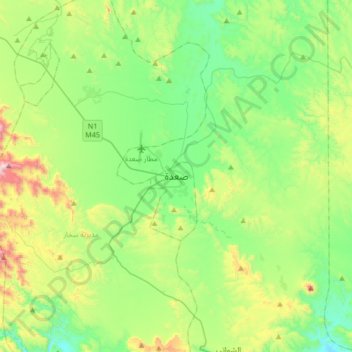
Name: Sa`dah topographic map, elevation, terrain.
Location: Sa`dah, Sa'adah district, Sa'dah Governorate, Yemen (16.78093 43.60303 17.10093 43.92303)
Average elevation: 1,957 m
Minimum elevation: 1,684 m
Maximum elevation: 2,654 m