
Palmetto Fort topographic map
Interactive map
Click on the map to display elevation.
About this map
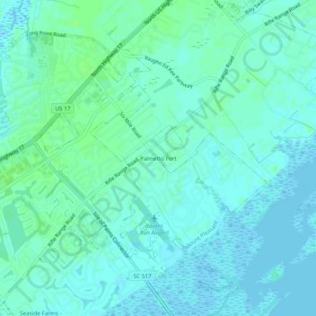
Name: Palmetto Fort topographic map, elevation, terrain.
Location: Palmetto Fort, Charleston County, South Carolina, 29466, USA (32.81268 -79.82842 32.85268 -79.78842)
Average elevation: 4 m
Minimum elevation: -2 m
Maximum elevation: 9 m