
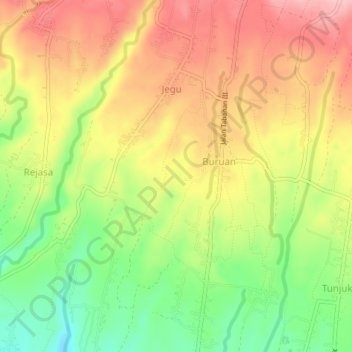
Marga Dauh Puri topographic map
Interactive map
Click on the map to display elevation.
About this map
Name: Marga Dauh Puri topographic map, elevation, terrain.
Location: Marga Dauh Puri, Bali, Indonesia (-8.48242 115.11313 -8.44242 115.15313)
Average elevation: 276 m
Minimum elevation: 192 m
Maximum elevation: 351 m