
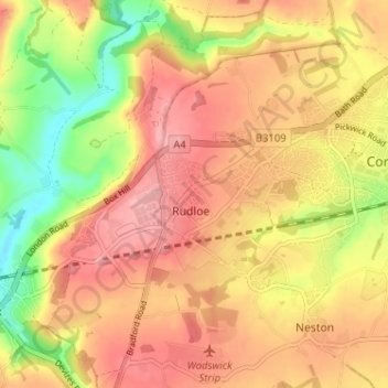
Rudloe topographic map
Interactive map
Click on the map to display elevation.
About this map
Name: Rudloe topographic map, elevation, terrain.
Average elevation: 105 m
Minimum elevation: 31 m
Maximum elevation: 155 m
Other topographic maps
Click on a map to view its topography, its elevation and its terrain.
Box Hill
United Kingdom > England > Rudloe > Box Hill
Box Hill, Box, Rudloe, Wiltshire, South West England, England, SN13 8HE, United Kingdom
Average elevation: 105 m