
Ruda Śląska topographic map
Interactive map
Click on the map to display elevation.
About this map
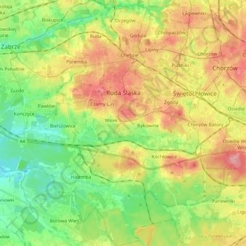
Name: Ruda Śląska topographic map, elevation, terrain.
Location: Ruda Śląska, GZM, Silesian Voivodeship, Poland (50.20842 18.79234 50.33170 18.95616)
Average elevation: 267 m
Minimum elevation: 216 m
Maximum elevation: 332 m