
Welfare topographic map
Interactive map
Click on the map to display elevation.
About this map
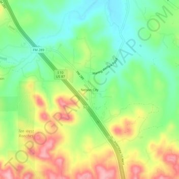
Name: Welfare topographic map, elevation, terrain.
Average elevation: 485 m
Minimum elevation: 426 m
Maximum elevation: 566 m
Other topographic maps
Click on a map to view its topography, its elevation and its terrain.
Welfare
United States of America > Texas > Welfare
Welfare, Kendall County, Texas, 78084, United States of America
Average elevation: 439 m