
East Morden topographic map
Interactive map
Click on the map to display elevation.
About this map
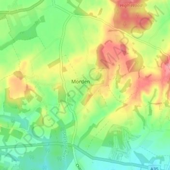
Name: East Morden topographic map, elevation, terrain.
Location: East Morden, Morden, Dorset, England, BH20 7DP, United Kingdom (50.73787 -2.13948 50.77787 -2.09948)
Average elevation: 49 m
Minimum elevation: 10 m
Maximum elevation: 102 m
Dorset trails, hiking, mountain biking, running and outdoor activities