
Dąbrowa Górnicza topographic map
Interactive map
Click on the map to display elevation.
About this map
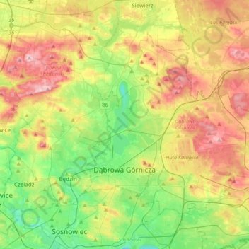
Name: Dąbrowa Górnicza topographic map, elevation, terrain.
Location: Dąbrowa Górnicza, GZM, Silesian Voivodeship, Poland (50.29058 19.15489 50.44790 19.48773)
Average elevation: 300 m
Minimum elevation: 230 m
Maximum elevation: 396 m