
Wieland topographic map
Interactive map
Click on the map to display elevation.
About this map
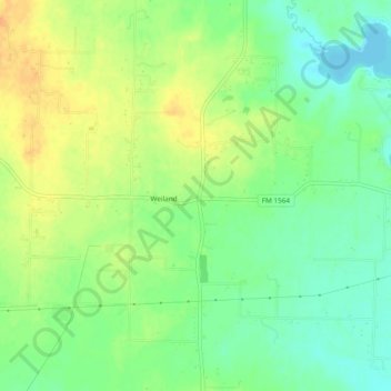
Name: Wieland topographic map, elevation, terrain.
Location: Wieland, Hunt County, Texas, USA (32.99484 -96.08025 33.03484 -96.04025)
Average elevation: 155 m
Minimum elevation: 138 m
Maximum elevation: 173 m