
Skútustaðahreppur topographic map
Interactive map
Click on the map to display elevation.
About this map
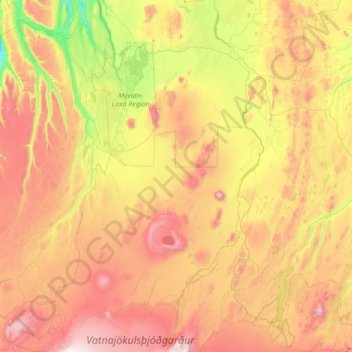
Name: Skútustaðahreppur topographic map, elevation, terrain.
Location: Skútustaðahreppur, Northeastern Region, 660, Iceland (64.66128 -17.33507 65.80888 -16.00546)
Average elevation: 661 m
Minimum elevation: -1 m
Maximum elevation: 1,903 m