
Pundaluoya topographic map
Interactive map
Click on the map to display elevation.
About this map
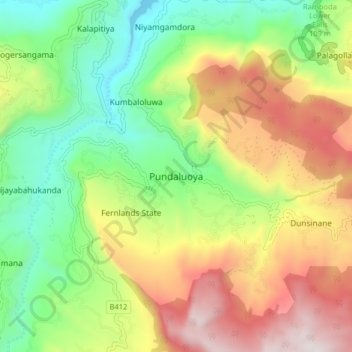
Name: Pundaluoya topographic map, elevation, terrain.
Location: Pundaluoya, Nuwara Eliya District, Central Province, Sri Lanka (6.97378 80.62679 7.05378 80.70679)
Average elevation: 1,250 m
Minimum elevation: 684 m
Maximum elevation: 2,035 m