
Lac Flat topographic map
Interactive map
Click on the map to display elevation.
About this map
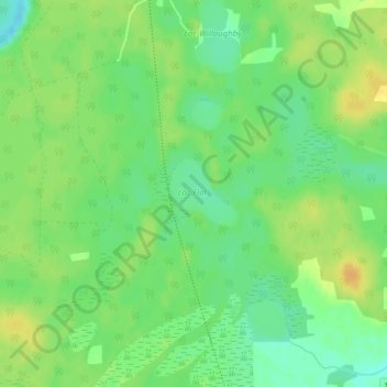
Name: Lac Flat topographic map, elevation, terrain.
Average elevation: 181 m
Minimum elevation: 167 m
Maximum elevation: 195 m
Other topographic maps
Click on a map to view its topography, its elevation and its terrain.
Lac Freddy
Lac Freddy, Chemin Vail, Kazabazua, La Vallée-de-la-Gatineau, Outaouais, Québec, Canada
Average elevation: 188 m