
Fleurieux-sur-l'Arbresle topographic map
Interactive map
Click on the map to display elevation.
About this map
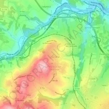
Name: Fleurieux-sur-l'Arbresle topographic map, elevation, terrain.
Average elevation: 288 m
Minimum elevation: 199 m
Maximum elevation: 405 m