Les Quatre Vents topographic map
Interactive map
Click on the map to display elevation.
About this map
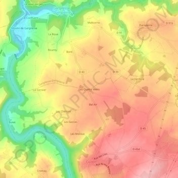
Name: Les Quatre Vents topographic map, elevation, terrain.
Average elevation: 217 m
Minimum elevation: 125 m
Maximum elevation: 281 m

Click on the map to display elevation.
Name: Les Quatre Vents topographic map, elevation, terrain.
Average elevation: 217 m
Minimum elevation: 125 m
Maximum elevation: 281 m