
Bořislav topographic map
Interactive map
Click on the map to display elevation.
About this map
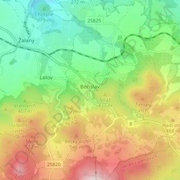
Name: Bořislav topographic map, elevation, terrain.
Location: Bořislav, okres Teplice, Ústecký kraj, Northwest, Czechia (50.55811 13.91703 50.59914 13.95735)
Average elevation: 389 m
Minimum elevation: 181 m
Maximum elevation: 690 m