
Gillen topographic map
Interactive map
Click on the map to display elevation.
About this map
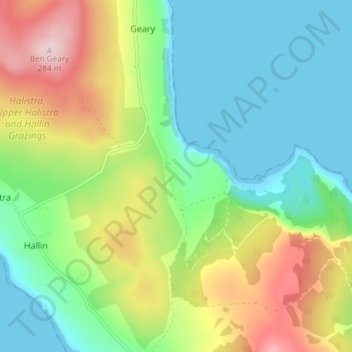
Name: Gillen topographic map, elevation, terrain.
Location: Gillen, Highland, Schottland, IV55 8GR, Vereinigtes Königreich (57.52511 -6.58727 57.56511 -6.54727)
Average elevation: 95 m
Minimum elevation: -1 m
Maximum elevation: 279 m