
Blaich topographic map
Interactive map
Click on the map to display elevation.
About this map
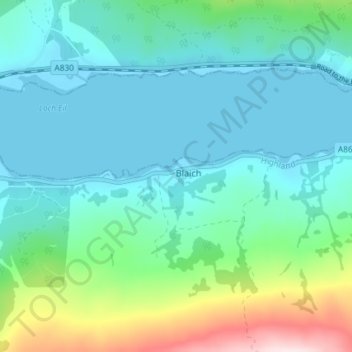
Name: Blaich topographic map, elevation, terrain.
Location: Blaich, Highland, Schottland, PH33 7AN, Vereinigtes Königreich (56.82287 -5.24151 56.86287 -5.20151)
Average elevation: 78 m
Minimum elevation: -2 m
Maximum elevation: 380 m