
Sector 2 topographic map
Interactive map
Click on the map to display elevation.
About this map
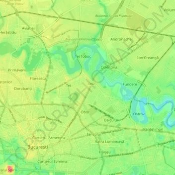
Name: Sector 2 topographic map, elevation, terrain.
Location: Sector 2, Bucharest, Romania (44.43165 26.10069 44.48758 26.19754)
Average elevation: 82 m
Minimum elevation: 54 m
Maximum elevation: 118 m
Other topographic maps
Click on a map to view its topography, its elevation and its terrain.