
Timergara topographic map
Interactive map
Click on the map to display elevation.
About this map
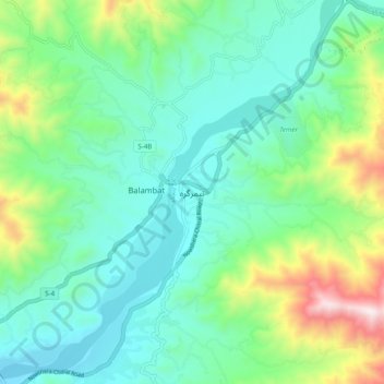
Name: Timergara topographic map, elevation, terrain.
Location: Timergara, Lower Dīr District, Khyber Pakhtunkhwa, Pakistan (34.78751 71.79773 34.86751 71.87773)
Average elevation: 909 m
Minimum elevation: 680 m
Maximum elevation: 1,594 m