
Brookings topographic map
Interactive map
Click on the map to display elevation.
About this map
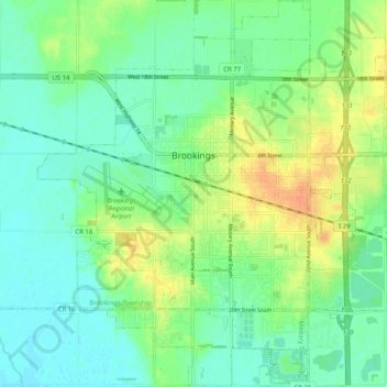
Name: Brookings topographic map, elevation, terrain.
Location: Brookings, Brookings County, South Dakota, United States (44.26793 -96.82911 44.33358 -96.74608)
Average elevation: 495 m
Minimum elevation: 482 m
Maximum elevation: 517 m
Other topographic maps
Click on a map to view its topography, its elevation and its terrain.
Brookings County
United States > South Dakota > Brookings County
Brookings County, South Dakota, United States
Average elevation: 525 m