
Maumee topographic map
Interactive map
Click on the map to display elevation.
About this map
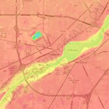
Name: Maumee topographic map, elevation, terrain.
Location: Maumee, Lucas County, Ohio, 43537, United States (41.52283 -83.69382 41.60283 -83.61382)
Average elevation: 192 m
Minimum elevation: 139 m
Maximum elevation: 203 m