
Cerro Tusa topographic map
Interactive map
Click on the map to display elevation.
About this map
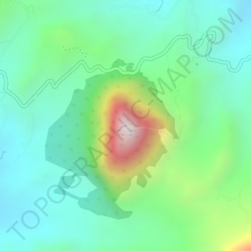
Name: Cerro Tusa topographic map, elevation, terrain.
Location: Cerro Tusa, Venecia, Suroeste, Antioquia, Colombia (5.96469 -75.77077 5.96479 -75.77067)
Average elevation: 1,338 m
Minimum elevation: 1,109 m
Maximum elevation: 1,876 m