
Sary-Tash topographic map
Interactive map
Click on the map to display elevation.
About this map
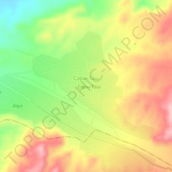
Name: Sary-Tash topographic map, elevation, terrain.
Location: Sary-Tash, Osh Region, Kyrgyzstan (40.36873 72.21052 40.38601 72.23573)
Average elevation: 928 m
Minimum elevation: 835 m
Maximum elevation: 1,011 m