
Gokwe topographic map
Interactive map
Click on the map to display elevation.
About this map
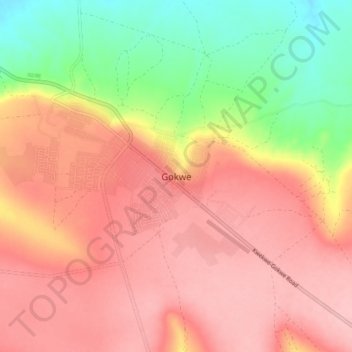
Name: Gokwe topographic map, elevation, terrain.
Location: Gokwe, Gokwe South, Midlands Province, Zimbabwe (-18.26498 28.91393 -18.18498 28.99393)
Average elevation: 1,268 m
Minimum elevation: 1,187 m
Maximum elevation: 1,319 m