
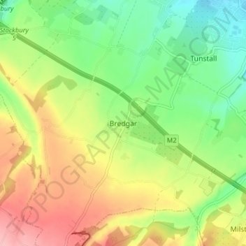
Bredgar topographic map
Interactive map
Click on the map to display elevation.
About this map
Name: Bredgar topographic map, elevation, terrain.
Location: Bredgar, Kent, South East, England, ME9 8EJ, United Kingdom (51.29302 0.67677 51.33302 0.71677)
Average elevation: 89 m
Minimum elevation: 33 m
Maximum elevation: 161 m