
Obłuże topographic map
Interactive map
Click on the map to display elevation.
About this map
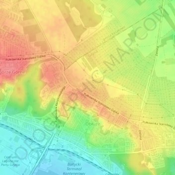
Name: Obłuże topographic map, elevation, terrain.
Location: Obłuże, Gdynia, Poméranie, Pologne (54.54625 18.49257 54.57110 18.53592)
Average elevation: 42 m
Minimum elevation: -2 m
Maximum elevation: 79 m
Other topographic maps
Click on a map to view its topography, its elevation and its terrain.