
Drummaan topographic map
Interactive map
Click on the map to display elevation.
About this map
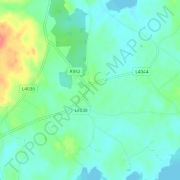
Name: Drummaan topographic map, elevation, terrain.
Location: Drummaan, Whitegate, County Clare, Munster, Ireland (52.93034 -8.39192 52.97034 -8.35192)
Average elevation: 43 m
Minimum elevation: 29 m
Maximum elevation: 88 m