
Majuro Atoll topographic map
Interactive map
Click on the map to display elevation.
About this map
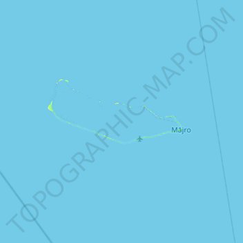
Name: Majuro Atoll topographic map, elevation, terrain.
Location: Majuro Atoll, Majuro, Marshall Islands (6.79035 170.90318 7.43035 171.54318)
Average elevation: 0 m
Minimum elevation: 0 m
Maximum elevation: 20 m
At the western end of the atoll, about 50 kilometers (30 mi) from Delap-Uliga-Djarrit (DUD) by road, is the island community of Laura, an expanding residential area with a popular beach. Laura has the highest elevation point on the atoll, estimated at less than 3 meters (10 feet) above sea level. Djarrit is mostly residential.
Other topographic maps
Click on a map to view its topography, its elevation and its terrain.