
Lac de Salanfe topographic map
Interactive map
Click on the map to display elevation.
About this map
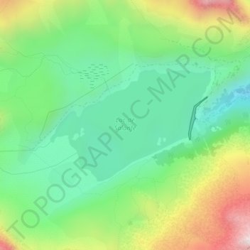
Name: Lac de Salanfe topographic map, elevation, terrain.
Average elevation: 2,049 m
Minimum elevation: 1,773 m
Maximum elevation: 2,561 m
Other topographic maps
Click on a map to view its topography, its elevation and its terrain.
Triège
Switzerland > Valais/Wallis > Salvan
Triège, Salvan, Saint-Maurice, Valais/Wallis, 1923, Switzerland
Average elevation: 1,801 m