
Albrandswaard topographic map
Interactive map
Click on the map to display elevation.
About this map
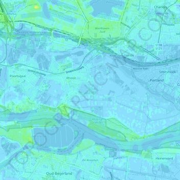
Name: Albrandswaard topographic map, elevation, terrain.
Location: Albrandswaard, South Holland, Netherlands (51.83165 4.38323 51.87320 4.49223)
Average elevation: 2 m
Minimum elevation: -5 m
Maximum elevation: 16 m