
Al Yasmin District topographic map
Interactive map
Click on the map to display elevation.
About this map
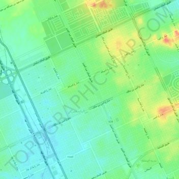
Name: Al Yasmin District topographic map, elevation, terrain.
Average elevation: 661 m
Minimum elevation: 645 m
Maximum elevation: 690 m
Other topographic maps
Click on a map to view its topography, its elevation and its terrain.
An Narjas
An Narjas, Riyadh Region, 7069, Saudi Arabia
Average elevation: 665 m
Al Nargis District
Al Nargis District, Municipality of Al Shamal, An Narjas, Riyadh Region, Saudi Arabia
Average elevation: 660 m