
Tomato topographic map
Interactive map
Click on the map to display elevation.
About this map
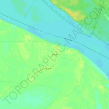
Name: Tomato topographic map, elevation, terrain.
Location: Tomato, Mississippi County, Arkansas, United States (35.82369 -89.76119 35.86369 -89.72119)
Average elevation: 74 m
Minimum elevation: 65 m
Maximum elevation: 86 m
Other topographic maps
Click on a map to view its topography, its elevation and its terrain.
Left Hand Chute of Little River
United States > Arkansas > Mississippi County
Left Hand Chute of Little River, Mississippi County, Arkansas, United States
Average elevation: 70 m
Half Moon
United States > Arkansas > Mississippi County
Half Moon, Mississippi County, Arkansas, United States
Average elevation: 74 m
Dell
United States > Arkansas > Mississippi County
Dell, Mississippi County, Arkansas, 72426, United States
Average elevation: 73 m