
Tantan topographic map
Interactive map
Click on the map to display elevation.
About this map
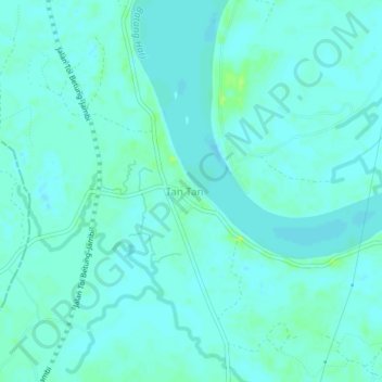
Name: Tantan topographic map, elevation, terrain.
Location: Tantan, Kecamatan Renah Mendaluh, Jambi, Indonesia (-1.54832 103.46338 -1.50832 103.50338)
Average elevation: 12 m
Minimum elevation: 8 m
Maximum elevation: 21 m