
Banani topographic map
Interactive map
Click on the map to display elevation.
About this map
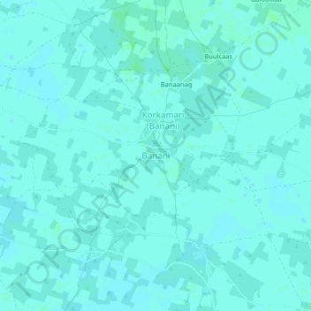
Name: Banani topographic map, elevation, terrain.
Location: Banani, Wanle Weyne, Lower Shabelle, Somalia (2.63580 44.99991 2.67580 45.03991)
Average elevation: 93 m
Minimum elevation: 91 m
Maximum elevation: 96 m