
Pas de la Casa topographic map
Interactive map
Click on the map to display elevation.
Pas de la Casa
Its name literally translates as "the pass of the house" and refers to the fact that until the early twentieth century there was only a single shepherd's hut overlooking the pass. The pass marks the watershed of the Pyrenees, being the only point in Andorra where water drains into the Atlantic Ocean, and is the source of the Ariège river. At an elevation of 2,408 metres (7,900 ft) it is one of the highest points on the European road network. The pass is bypassed by the Envalira Tunnel.
About this map
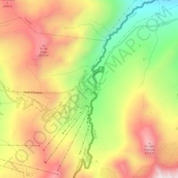
Name: Pas de la Casa topographic map, elevation, terrain.
Location: Pas de la Casa, Encamp, AD200, Andorra (42.52471 1.71349 42.56471 1.75349)
Average elevation: 2,295 m
Minimum elevation: 1,756 m
Maximum elevation: 2,781 m