
Lac Simard topographic map
Interactive map
Click on the map to display elevation.
About this map
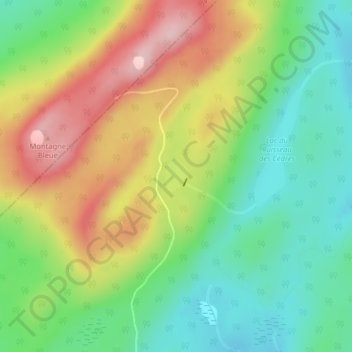
Name: Lac Simard topographic map, elevation, terrain.
Average elevation: 534 m
Minimum elevation: 443 m
Maximum elevation: 663 m
Other topographic maps
Click on a map to view its topography, its elevation and its terrain.
Lac Pohénégamook
Canada > Québec > Pohénégamook > Estcourt
Lac Pohénégamook, Estcourt, Pohénégamook, Témiscouata, Bas-Saint-Laurent, Québec, G0L 1J0, Canada
Average elevation: 353 m