
Ardoch Burn topographic map
Interactive map
Click on the map to display elevation.
About this map
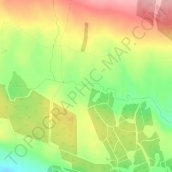
Name: Ardoch Burn topographic map, elevation, terrain.
Location: Ardoch Burn, Stirling, Scotland, FK16 6EQ, United Kingdom (56.23577 -4.07745 56.23736 -4.06026)
Average elevation: 225 m
Minimum elevation: 142 m
Maximum elevation: 306 m
Other topographic maps
Click on a map to view its topography, its elevation and its terrain.
Port of Menteith
United Kingdom > Scotland > Stirling > Port of Menteith
Port of Menteith, Stirling, Scotland, FK8 3RB, United Kingdom
Average elevation: 101 m
River Teith
United Kingdom > Scotland > Stirling
River Teith, Stirling, Scotland, FK16 6AH, United Kingdom
Average elevation: 93 m
Garbh Uisge
United Kingdom > Scotland > Stirling
Garbh Uisge, Stirling, Scotland, FK17 8AW, United Kingdom
Average elevation: 131 m