
Willige Langerak topographic map
Interactive map
Click on the map to display elevation.
About this map
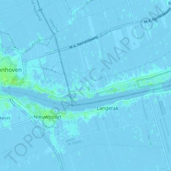
Name: Willige Langerak topographic map, elevation, terrain.
Location: Willige Langerak, Utrecht, Nederland, 3411NC, Nederland (51.92266 4.86294 51.96266 4.90294)
Average elevation: 0 m
Minimum elevation: -4 m
Maximum elevation: 9 m