
Myombe topographic map
Interactive map
Click on the map to display elevation.
About this map
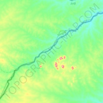
Name: Myombe topographic map, elevation, terrain.
Location: Myombe, Iringa, Southern Highlands Zone, Tanzania (-7.10823 34.65126 -6.91508 34.89761)
Average elevation: 1,087 m
Minimum elevation: 1,027 m
Maximum elevation: 1,280 m
Other topographic maps
Click on a map to view its topography, its elevation and its terrain.