
Río Athabasca topographic map
Interactive map
Click on the map to display elevation.
About this map
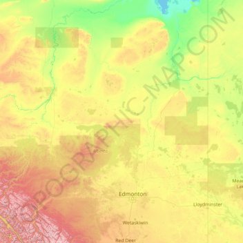
Name: Río Athabasca topographic map, elevation, terrain.
Average elevation: 696 m
Minimum elevation: 207 m
Maximum elevation: 3,532 m
Other topographic maps
Click on a map to view its topography, its elevation and its terrain.
Drumheller (town)
Drumheller (town), Alberta, T0J 2V0, Canadá
Average elevation: 855 m