
Keram River topographic map
Interactive map
Click on the map to display elevation.
About this map
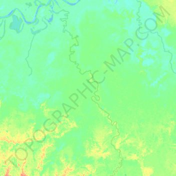
Name: Keram River topographic map, elevation, terrain.
Location: Keram River, East Sepik, Momase Region, Papua New Guinea (-4.59100 144.06415 -4.08395 144.27304)
Average elevation: 10 m
Minimum elevation: -2 m
Maximum elevation: 52 m
Other topographic maps
Click on a map to view its topography, its elevation and its terrain.