
Rum River topographic map
Interactive map
Click on the map to display elevation.
About this map
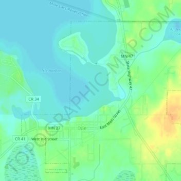
Name: Rum River topographic map, elevation, terrain.
Location: Rum River, Isle, Mille Lacs County, Minnesota, 56342, USA (46.14227 -93.47554 46.14500 -93.46235)
Average elevation: 387 m
Minimum elevation: 377 m
Maximum elevation: 407 m