
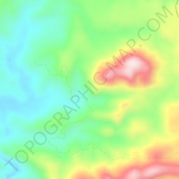
Mamahak Ulu topographic map
Interactive map
Click on the map to display elevation.
About this map
Name: Mamahak Ulu topographic map, elevation, terrain.
Location: Mamahak Ulu, East Kalimantan, Indonesia (0.63254 115.53495 0.67254 115.57495)
Average elevation: 588 m
Minimum elevation: 433 m
Maximum elevation: 859 m