
Sewellton topographic map
Interactive map
Click on the map to display elevation.
About this map
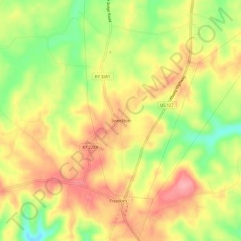
Name: Sewellton topographic map, elevation, terrain.
Location: Sewellton, Russell County, Kentucky, 42629, USA (36.91618 -85.12496 36.95618 -85.08496)
Average elevation: 289 m
Minimum elevation: 218 m
Maximum elevation: 346 m