
Felcra Sg Ara topographic map
Interactive map
Click on the map to display elevation.
About this map
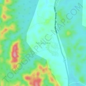
Name: Felcra Sg Ara topographic map, elevation, terrain.
Location: Felcra Sg Ara, Johor, Malaysia (1.99213 103.83908 2.03213 103.87908)
Average elevation: 42 m
Minimum elevation: 4 m
Maximum elevation: 154 m