
Guthrie topographic map
Interactive map
Click on the map to display elevation.
About this map
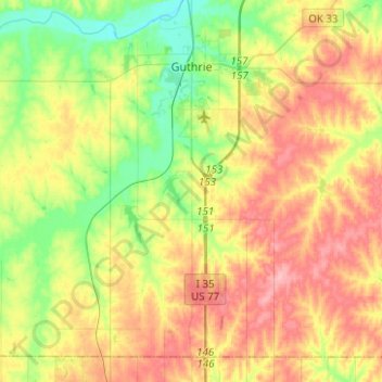
Name: Guthrie topographic map, elevation, terrain.
Location: Guthrie, Logan County, Oklahoma, 73044, United States (35.72503 -97.60278 35.90015 -97.35364)
Average elevation: 330 m
Minimum elevation: 276 m
Maximum elevation: 392 m
Other topographic maps
Click on a map to view its topography, its elevation and its terrain.
Langston
United States > Oklahoma > Logan County
Langston, Logan County, Oklahoma, United States
Average elevation: 295 m