
Nanga Pinoh topographic map
Interactive map
Click on the map to display elevation.
About this map
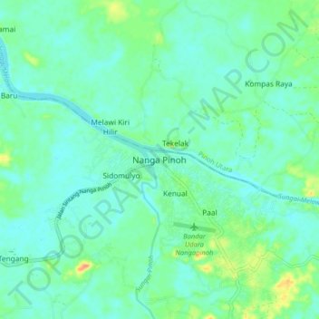
Name: Nanga Pinoh topographic map, elevation, terrain.
Location: Nanga Pinoh, West Kalimantan, 79672, Indonesia (-0.37160 111.69700 -0.29160 111.77700)
Average elevation: 32 m
Minimum elevation: 22 m
Maximum elevation: 62 m