
Moosehead topographic map
Interactive map
Click on the map to display elevation.
About this map
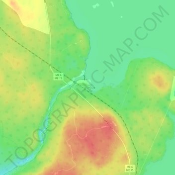
Name: Moosehead topographic map, elevation, terrain.
Location: Moosehead, Piscataquis County, Maine, USA (45.56338 -69.73367 45.60338 -69.69367)
Average elevation: 323 m
Minimum elevation: 295 m
Maximum elevation: 351 m