
Lambate topographic map
Interactive map
Click on the map to display elevation.
About this map
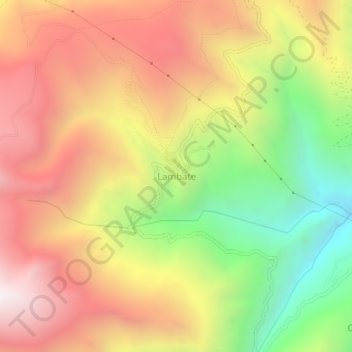
Name: Lambate topographic map, elevation, terrain.
Location: Lambate, Provincia Sud Yungas, La Paz, Bolivie (-16.62434 -67.72435 -16.58434 -67.68435)
Average elevation: 3,507 m
Minimum elevation: 2,676 m
Maximum elevation: 4,228 m