
Marysvale topographic map
Interactive map
Click on the map to display elevation.
About this map
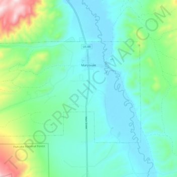
Name: Marysvale topographic map, elevation, terrain.
Location: Marysvale, Piute County, Utah, 94750, USA (38.41584 -112.31093 38.46059 -112.20403)
Average elevation: 1,918 m
Minimum elevation: 1,771 m
Maximum elevation: 2,454 m